What the Google Earth generative AI feature was
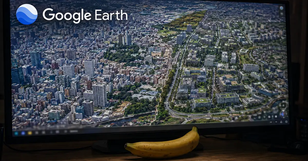
The feature embedded Google's image generation model Nano Banana 2 into Google Earth. Zoom into a place on the map, tap "create image," and type whatever you want to see.
The feature at a glance (from the official blog)
For the first time, you can generate custom images using Google Earth’s satellite, aerial, and 3D imagery alongside Nano Banana, which creates concepts grounded in the real world. Just zoom in to a place in Google Earth on web, tap “create image,” and type whatever you want to see. / Image generation with Nano Banana is available globally today for Google Earth web users. — From the description of how the feature worked, the steps to use it, and its availability
The five uses Google put forward
The original post listed five intended uses. All five share the same shape: reworking a real place.
The five uses Google described
| Use | What it does |
|---|---|
| Reconstruct history | Ask for a hyper-realistic view of the Pompeii ruins in 78 A.D. and get the Roman-era streets |
| Explore while learning | Generate an infographic of key historical facts about the Statue of Liberty (Gemini retrieves, Nano Banana draws) |
| Present a property plan | Reimagine an empty lot in Tokyo as a shopping and retail district with open spaces, as a 3D concept |
| See the finished build first | Zoom into an open lot and add a modern lakefront cabin built from sustainably sourced local materials |
| Rework a place you like | Turn Google's Mountain View campus into a futuristic city with glowing walkways and glass biodomes |
Teachers can show their classroom a historic site and type, “Render a hyper-realistic view of what these Pompeii ruins looked like in 78 A.D.” / Type, “Create an easy to understand infographic of the Statue of Liberty with key historical facts.” Behind the scenes, Gemini will retrieve relevant historical information and Nano Banana will create a graphic in seconds. / Architects and urban planners can now bring their plans to life by saying, "Reimagine this empty lot in Tokyo as a vibrant shopping and retail district with open spaces.” / Zoom in to an open lot and say, "Add a modern lakefront cabin built from sustainably sourced local materials” to see a photorealistic rendering of your future house nestled perfectly in the actual landscape. / type “Transform the Google Mountain View campus into a futuristic sci-fi utopia with glowing walkways, glass biodomes, flying transport pods, and trees wrapped around buildings,” — From each of the five uses Google set out
The selling point — imagery grounded in real places — was the exposure
Read it back and the seed of the problem sits inside the pitch itself. What was emphasised was the ability to create imagery grounded in the real world. Not an invented landscape, but something photorealistic tied to actual coordinates. For property and urban planning, that property is exactly the value.
The same property also lets you show something that is not there, photorealistically, about a real place. If you can add a building to an empty lot, you can add other things. What separates the uses is not the technology but intent and policy. Reading the withdrawal note, that is where Google landed too.
How it went from launch to rollback in a day
The form of the announcement was unusual. Rather than a new post, the withdrawal was communicated by appending an update to the top of the post published the day before.
From launch to rollback
We know that people uniquely trust Google Earth for a reliable view of the world. We’ve seen geospatial professionals using this feature for a range of useful purposes, however we’ve also seen people sharing screenshots of generated imagery that appear to violate our policies. So we’re rolling back this feature in Google Earth while we work on implementing stronger guardrails. It's important to note that generated images didn’t appear in the main Google Earth experience for others to see and were watermarked as AI generated. — From the update covering the reason, the response, and how the generated images were handled
Google's stated reason is that the map is trusted
The explanation does not open with anything technical. It opens with a recognition: people uniquely trust Google Earth for a reliable view of the world.
Both sides are then stated. Geospatial professionals were using the feature for a range of useful purposes. But screenshots of generated imagery that appear to violate Google's policies were also being shared. The second is given as the reason for the rollback.
Google does not say what specifically the problematic images depicted. Nor does the blog say anything about whether external reporting came first. This article does not go beyond what can be confirmed either.
It is written as a pause, not a cancellation
The word choice is worth noting. Google does not say the feature is being ended. It says it is rolling back this feature while it works on implementing stronger guardrails — a rollback being a reversion of a change to the prior state.
So the current status is a pause; the feature has not been abandoned. But neither a date for its return nor the substance of the guardrails has been given. A similar arc played out with Instagram's AI mention editing feature being pulled. This pattern of shipping and then retracting suggests the pace of pushing generative features out and the design of what follows them are not in step.
A watermark and a private view were not enough
The part that gives most pause is that both of Google's safeguards were working. The feature was pulled anyway.
The safeguards in place, and what happened anyway
however we’ve also seen people sharing screenshots of generated imagery that appear to violate our policies. / It's important to note that generated images didn’t appear in the main Google Earth experience for others to see and were watermarked as AI generated. — From the externally shared screenshots and the safeguards applied to the generated images
Screenshots travel by a route that sits outside the service
Line the safeguards up and both operate inside the service. Do not show it to other users; embed a watermark. Both are designs that complete within the platform.
What actually caused the problem was an image captured off the screen and carried elsewhere. A screenshot walks straight past the display design. And how much of a watermark survives cropping and recompression depends entirely on handling. Preserving the provenance of generated material does not complete inside the service that generated it.
Work on establishing provenance downstream is underway — technology on the detection side, like NVIDIA's synthetic video detector, which judges material after it is already circulating. When handling images, tidying up content and file size locally before sharing makes them easier to work with.
Conclusion: the difficulty of putting generative AI on a map
Google Earth's image generation was pulled the day after launch. The reason was not a technical fault but what the images could be used for. The recognition Google put first — that the product is uniquely trusted as a reliable view of the world — is the axis the decision turned on.
What this shows is that the bar changes with where you put the generative capability. In an image tool built for creative work, producing a convincing but untrue picture is not a problem. Place the same capability on a map bound to real coordinates and it means something else. The nature of the surface decides what the feature can be allowed to do.
The decision itself was fast and transparent: pulled within a day, with the reason and the state of the response written into the original post. But no conditions for its return have been stated. For the lineage of the model, see our explainer on Nano Banana 2 Lite.